Reliefs Maps Models - by Howard Models |
| Regions & Area Map Models | ||||||||||||||||||||
Raised Relief Map Model Gallery - Raised Relief Map Models by Howard Models - Responsive Service |
||||||||||||||||||||
|
||||||||||||||||||||
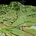 Hawaii Highway Relief Maps Models |
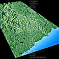 Housatonic Watershed Relief Map |
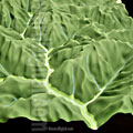 St. Lucia Map Model |
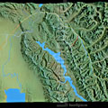 Montana Crash Site Relief Maps |
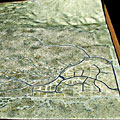 Pichacho Mountain Relief Models |
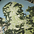 SOM Ft. Belvoir Relief Topo Maps |
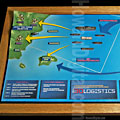 Office of Naval Research Topo Relief Map |
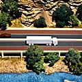 Raised Relief Colorado Map |
 Swan Island Relief Model |
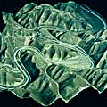 Map Model West Virginia Hwy |
| Our raised relief map models usually ship in 4-6 weeks. These raised relief map models are the ideal base for both study models and presentation Raised Relief Map models. Model builders/fabricators love our model bases. Click here for our Raised Relief Map Model PRICE CHART Toll-Free . 1-888-TOPO-TOPO . 1-888-867-6867 |
||||
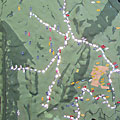 Stony Brook Watershed Relief Models |
||||
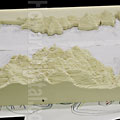 Diamond Valley Lake Map Model |
 Santa Marta Relief Maps Model |
 Woodstock Map Model |
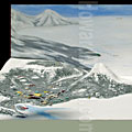 Antarctica Maps Models |
 Hot Springs Relief Maps Models |
| We supply raised relief map models to developers, builders, architects and model shops around the world. Our raised relief map models are milled from slabs of polyurethane foam. Our milling process accurately creates raised relief map models from your paper or digital raised relief map. Our raised relief map models can be finished out and ready for final presentation, ready to drop your building into or supplied right off the machine for use as a study model or for your model shop to finish. | ||||
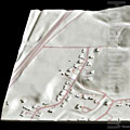 Santa Barbara Estate Model |
 Condo Development Map Model |
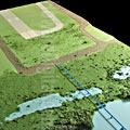 Potomac Airfield Map Model |
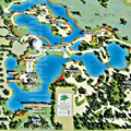 Naples Botanical Map Models |
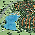 Bear Hollow Village Raised Relief |
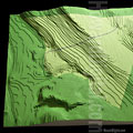 Berlin Prison Model Map |
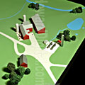 Shiffman Pipeline Map Model |
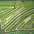 Mulford Gardens Raised Relief Map |
||
| Whether you call them relief map models, 3D contour models, architectural site plan models, terrain models, 3d topography maps, topographic models, topography models, topographical maps, raised relief maps, 3d topo map models, landscape models, contoured site models or landform models - TOPO EXPRESS makes them. Most of our Topography foam bases are ready to ship in 1 week or less. These raised relief map models are the ideal base for both study models and finished presentation models. | ||||
EMAIL - PHONE - ADDRESS |
| Architectural Presentation - Rendering - Architectural Animation - Architectural Model Supply - Architectural Model - Raised Relief Map - Digital Content - Pewter Building |